 TBSD60
 BSD120
 BSD98
BSD98 BSD70
BSD70 BSD60
BSD60 BSD50
BSD50 BSD217
 INS1700
 INS970
 INS570
 INS170
 SLA-4B1L1-65
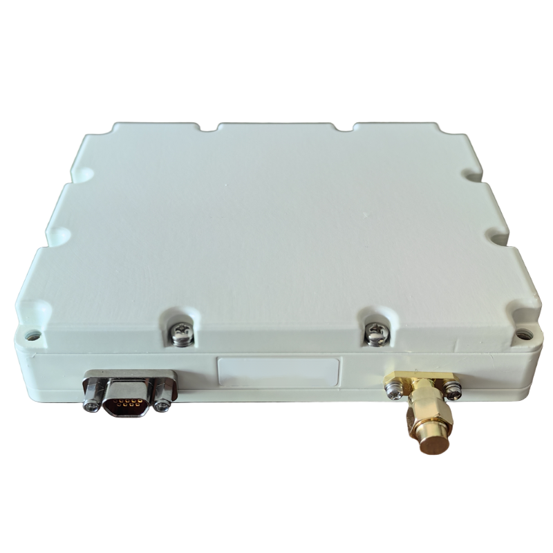 SLA-8B1L1-110
 SLA-4B1L1-130
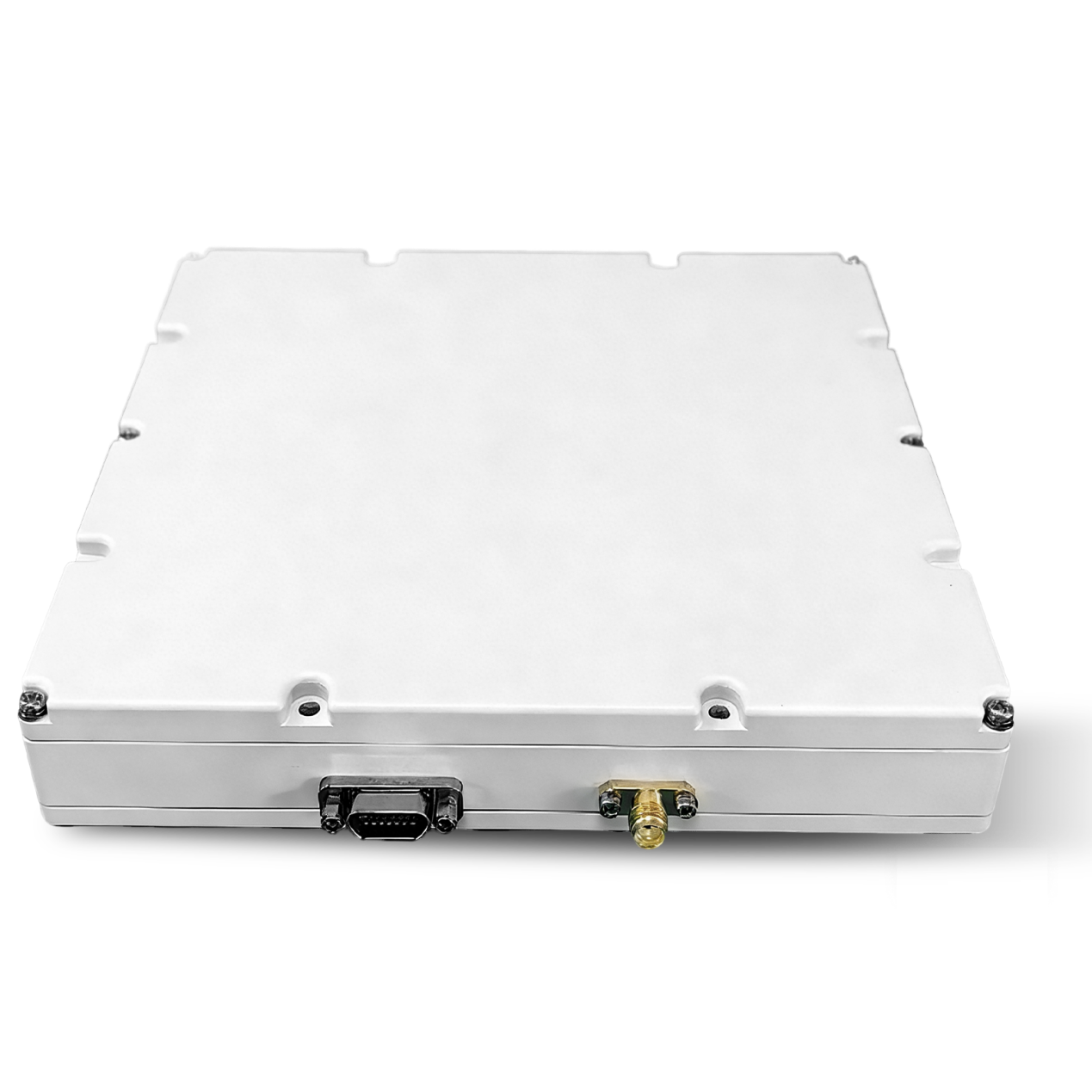 SLA-16B1L1-160
 SLA-8B1L1-165
 101 Vessel-mounted Positioning
 102 Acoustic Communication
 103 Tracking and Locating
 104 Diver Navigation System
 105 Intrusion Detection Sonar
 106 Delivery Locator Beacon
 SLLR3000
 SLLR905
 SLLD25
 108IMU
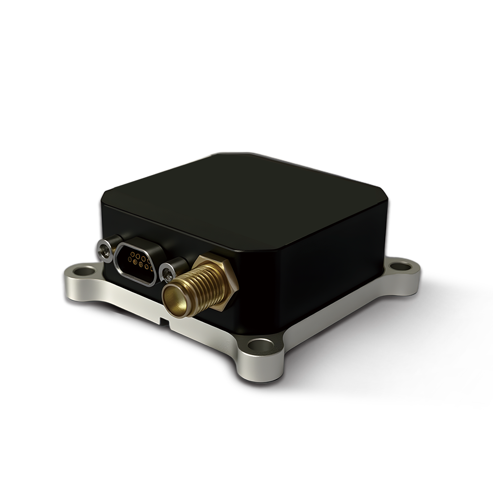 150M
150M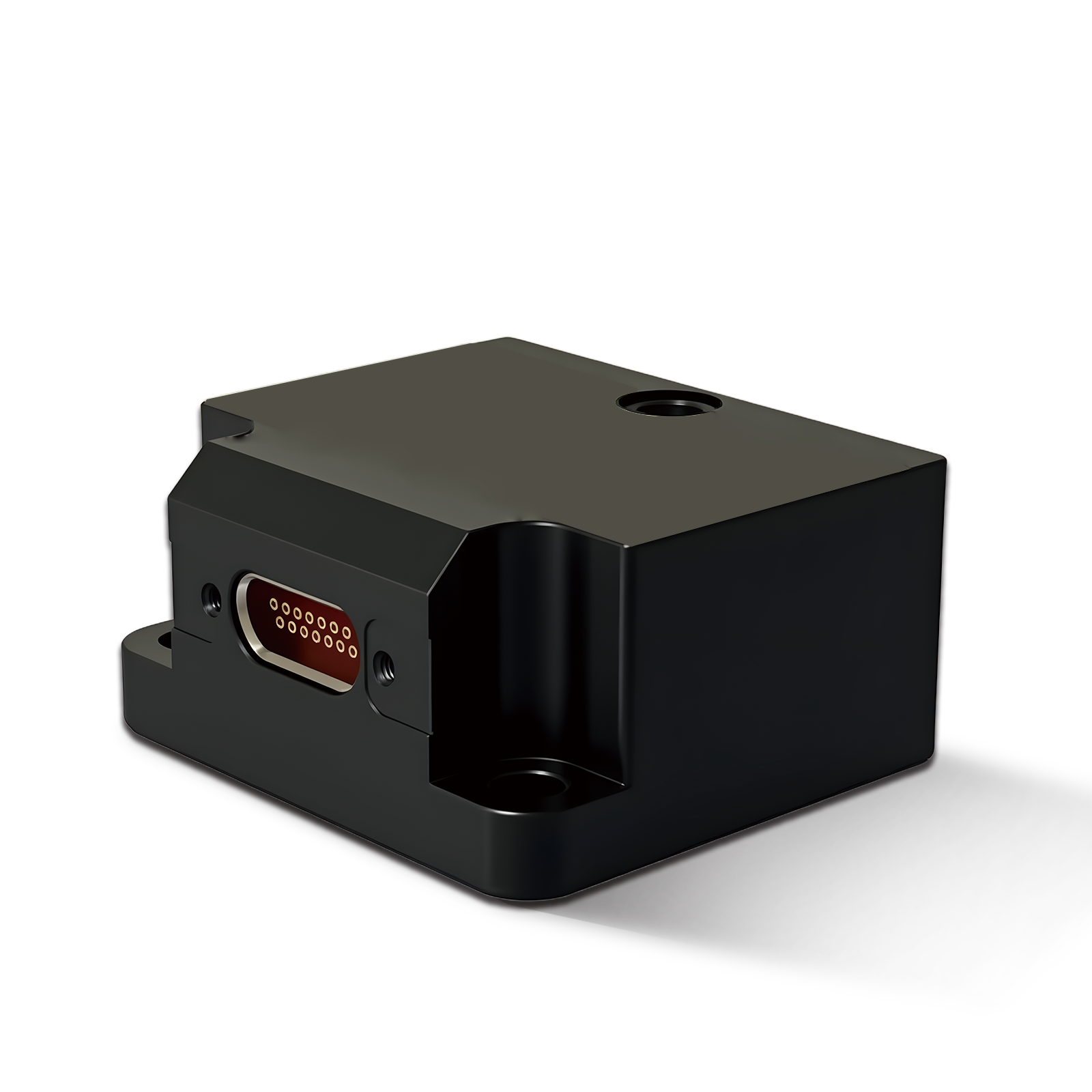 500MH
500MH 160M
160M 170M
170M SLFC-70
 SLAF280
 MR360
MR360


The Guide to Anti-Jamming Inertial Navigation for Mission-Critical Autonomous Systems

An Inertial Navigation System provides a reliable solution by calculating position, speed, and direction using internal sensors instead of satellite signals. Even when GPS is blocked or jammed, an Inertial Navigation System continues to deliver stable navigation data.
This guide explores how an Inertial Navigation System supports anti-jamming performance and ensures reliable operation for mission-critical autonomous applications.
What Is an Inertial Navigation System?
An Inertial Navigation System is a self-contained navigation method that uses internal sensors to track movement. Instead of relying on external signals like GPS, an Inertial Navigation System measures acceleration and rotation to calculate position, speed, and direction.
Inside an Inertial Navigation System, there are usually three main components:
- Accelerometers (measure movement in a straight line)
- Gyroscopes (measure rotation and orientation changes)
- A processing unit (calculates position over time)
By combining these sensors, an Inertial Navigation System can continuously estimate where a vehicle or machine is, even when external signals are unavailable.
Why GPS Alone Is Not Enough
GPS is widely used in navigation, but it has limits. In real-world operations, GPS signals can be:
- Blocked by buildings, tunnels, or dense forests
- Weakened in underground or indoor environments
- Disrupted by weather conditions
- Intentionally jammed in military or sensitive areas
When GPS fails, an Inertial Navigation System becomes essential. Unlike GPS, an Inertial Navigation System does not depend on satellites. It works independently, making it highly reliable in critical missions.
This is why modern autonomous systems often combine GPS with an Inertial Navigation System to create a more stable and accurate navigation solution.
How Anti-Jamming Technology Improves Navigation
In contested environments, GPS signals can be deliberately attacked using jamming devices. These devices send strong radio signals that overpower satellite signals. When this happens, navigation systems that rely only on GPS can fail.
An advanced Inertial Navigation System with anti-jamming capability solves this problem by:
- Continuing navigation without GPS input
- Using sensor fusion to maintain accurate tracking
- Reducing errors caused by signal loss
- Supporting real-time positioning updates
Even when GPS is completely blocked, an Inertial Navigation System keeps the system running smoothly. This is critical for defense missions, emergency response, and autonomous transportation systems.
How an Inertial Navigation System Works in Real Time
An Inertial Navigation System works by constantly measuring small changes in motion. It starts from a known position and updates that position many times per second.
Here is a simple explanation:
- The system detects movement using sensors
- It calculates direction and speed
- It updates the current position continuously
- It corrects errors using advanced algorithms
Over time, small errors can build up. To solve this, many modern systems combine an Inertial Navigation System with other technologies like GNSS, magnetometers, or barometric sensors. This improves long-term accuracy while keeping strong independence from external signals.
Key Benefits of an Inertial Navigation System
An Inertial Navigation System offers several important advantages for mission-critical applications:
1. Works Without External Signals
An Inertial Navigation System does not depend on satellites, making it reliable in any environment.
2. High Resistance to Interference
Because it uses internal sensors, an Inertial Navigation System is highly resistant to jamming and spoofing attacks.
3. Real-Time Performance
An Inertial Navigation System updates position data instantly, which is essential for fast-moving systems like drones or autonomous vehicles.
4. Compact and Integrated Design
Modern systems are small and can be easily integrated into vehicles, robots, and industrial platforms.
5. Continuous Operation
Even when GPS is lost, an Inertial Navigation System continues working without interruption.
Applications in Mission-Critical Systems
An Inertial Navigation System is widely used across industries where accuracy and reliability are essential.
Autonomous Vehicles
Self-driving cars and industrial robots use an Inertial Navigation System to maintain stable positioning when GPS signals are weak or blocked.
Drones and UAVs
In aerial missions, an Inertial Navigation System helps drones maintain flight stability and navigation accuracy, even in urban canyons or remote areas.
Defense and Security Systems
Military platforms rely heavily on an Inertial Navigation System for operations in GPS-denied or electronically contested environments.
Maritime and Aerospace
Ships, submarines, and aircraft use an Inertial Navigation System as a backup or primary navigation source in long-distance missions.
Role in GPS-Denied Environments
A GPS-denied environment is any location where satellite signals are unavailable or unreliable. This includes tunnels, underground facilities, dense urban areas, and battlefield zones.
In these environments, an Inertial Navigation System becomes the core navigation tool. It ensures:
- Continuous positioning
- Stable directional control
- Safe mission execution
- Reduced risk of navigation failure
For mission-critical systems, this reliability is not optional—it is essential.
Choosing the Right Inertial Navigation System
When selecting an Inertial Navigation System, several factors should be considered:
- Accuracy level required for the mission
- Environmental conditions (air, land, sea, or space)
- Level of anti-jamming performance needed
- Integration with existing navigation systems
- Size, weight, and power consumption
Advanced solutions like integrated anti-jamming navigation units are designed to meet these challenges, offering high performance in difficult environments.
Future of Inertial Navigation Systems
The future of the Inertial Navigation System is moving toward higher precision, smarter algorithms, and deeper integration with AI and sensor fusion technologies. As autonomous systems become more common, demand for reliable navigation in all environments will continue to grow.
We can expect next-generation Inertial Navigation System designs to be smaller, more accurate, and more resistant to interference than ever before.
Conclusion
An Inertial Navigation System is a critical technology for modern autonomous and mission-critical systems. It provides reliable positioning when GPS is unavailable, jammed, or unreliable. With anti-jamming capabilities and advanced sensor fusion, an Inertial Navigation System ensures continuous navigation in even the most challenging environments.
As industries move toward full autonomy, the role of the Inertial Navigation System will only become more important, supporting safer, smarter, and more resilient operations worldwide.